Google added the Crimean bridge on their cards

17 May 2018
But to drive on it is not allowed
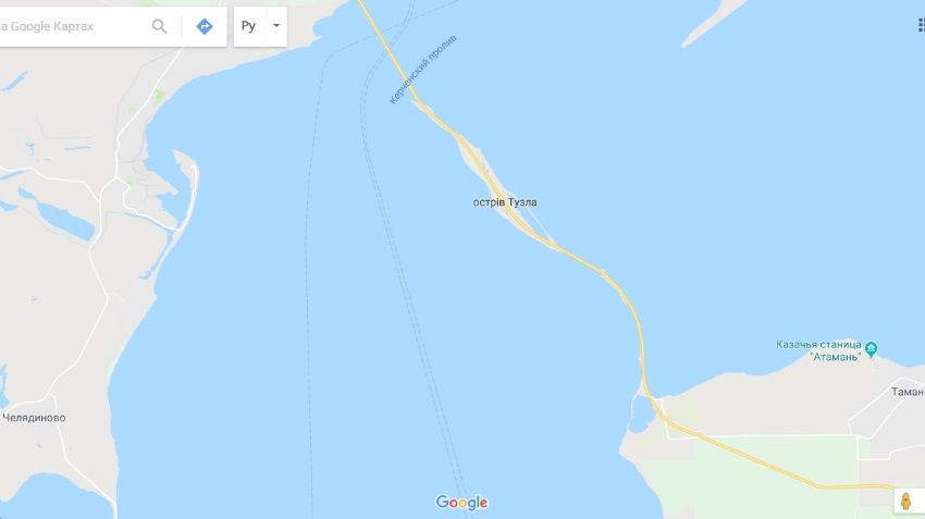
May 15, Vladimir Putin opened the Crimean bridge and 16 may nachalos getting free traffic (while on the bridge allowed only passenger vehicles and buses). However, social media users and mainstream media drew attention to the fact that the map service Google Maps new transport artery has not appeared. But on may 17, the bridge finally began to appear on electronic charts.
It is noteworthy that "Yandex.Map" is the Russian counterpart of Google Maps began to display a new bridge immediately after it opened. In the Global network even began to spread jokes about the fact that the absence of the Crimean bridge in Google Maps is part of the Western sanctions.

Google Maps still offer sail
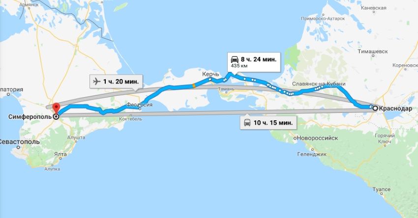
However, while Google Maps still ignores the new route passing through the Strait of Kerch. For example, when you try to make a route from Krasnodar to Simferopol computer builds, considering the ferry terminal, although it is clear that the trip on the new bridge is faster and more comfortable option.
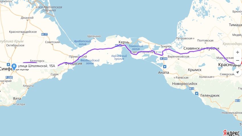
Meanwhile, "Yandex.Map" much better cope with this task. Interesting point: if Google Maps estimates travel time at 8 hours and 24 minutes, the "Yandex.Card" 6 hours and 40 minutes (data correct as of 19:35, Moscow time, on may 17, 2018). Probably, this significant difference is an indication of how reduced the journey time through the Crimean bridge (at the same time it is necessary to note that map services can apply different algorithms for calculation).

But "Yandex.Cards" are already building the route via the new bridge
However, the American mapping service already knows about the presence of the bridge. It is easy to verify as follows: if a route from Krasnodar in the village of Taman, and from there to the island of Tuzla, and then to Simferopol, Google Maps shamelessly offer to take a ride on the Crimean bridge. In other situations, the service persistently ignored the presence of the bridge.
|
|
|
Element was not found.


